GIS5935 M2.1 Surfaces - TINs and DEMs
In my exploration of elevation data models, I examined both Triangulated Irregular Networks (TINs) and Digital Elevation Models (DEMs) to understand their unique properties and applications. TINs are formed by connecting data points into triangles, providing highly detailed but angular representations of terrain. On the other hand, DEMs are grid-based and create smoother surface representations through interpolation techniques.
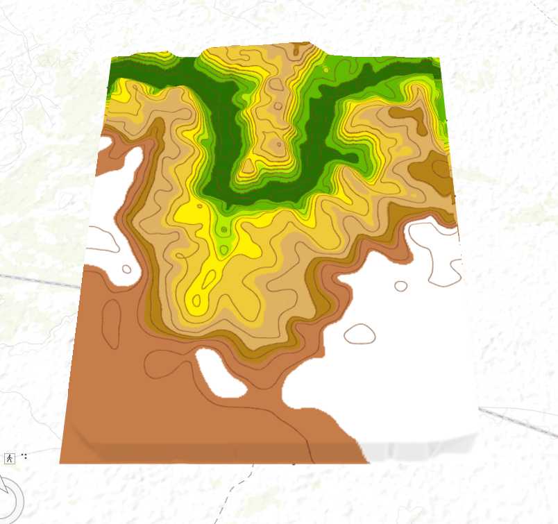
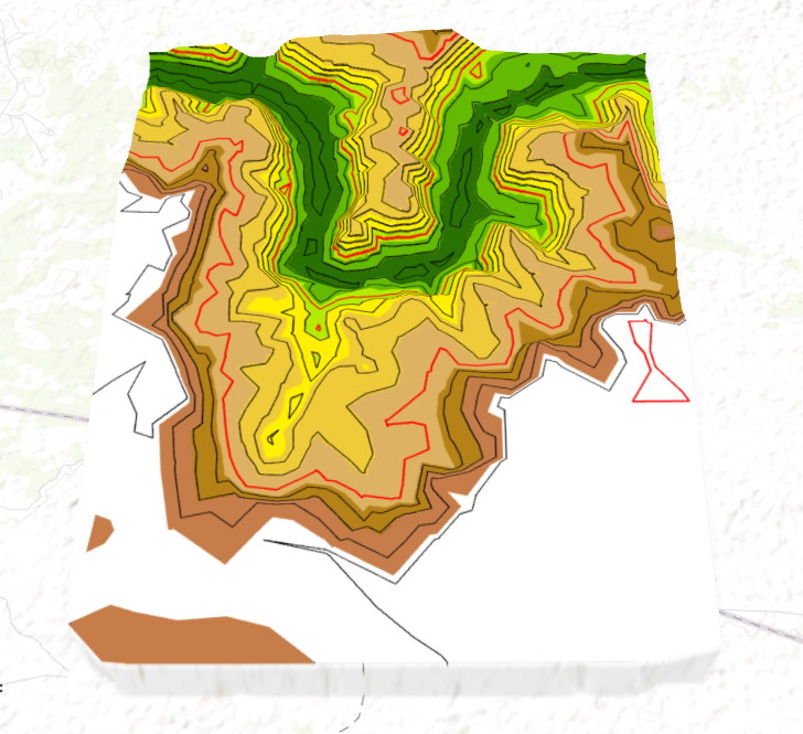
I compared these models by analyzing contour lines generated from both TIN and DEM data. One key difference I found is that DEM contours are much smoother, especially in flatter areas with less elevation variation, while TIN contours are more angular, especially in areas of steeper terrain due to the triangular structure. The smoother DEM is more suitable for continuous surface representation, while the TIN excels in areas requiring more detailed elevation information.
A comparison between DEM and TIN contours can be seen below:
DEM
TIN
This exploration highlights the strengths of each model and underscores the importance of choosing the right one based on the specific terrain characteristics and analysis goals.


Comments
Post a Comment